A Brief Introduction

In my random travels, I often carry a 6" plastic action figure and take pictures of him. Bongo, as I call him, is a gorrilla with a green backpack and a spring-propelled grapnel launched from his left wrist. He is one of the Rescue Heroes made by Fischer Price. The name on the box said Swinger, but I call him Bongo nonetheless.

Perhaps his full name is Bongo Swinger.

Swinger is not featured on the Fischer Price Rescue Heroes website.
Perhaps he has been discontinued.

In any case, he is durable, pose able, portable and much more reliable than the lawn gnome of urban legend. Unlike the lawn gnome, he is not stolen or borrowed. I purchased him, many years ago, for my son, who has outgrown such toys. So now I play with him.

I post the pictures here, along with whatever background information I feel appropriate.

This is the second version of this blog. The original was based on an e-mail that no longer exists, and I can no longer edit it.

I have linked to it here - and on the link list

Sunday, November 4, 2007

More from Moqui group camp


A bit of old business to get out of the way.
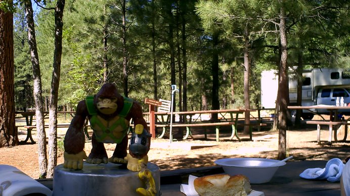
Bongo found a calculator.
He displayed it for us at Knoll Lake campground up on the Mogollon Rim.
This is just after the General Crook trail hike, at the campground, with the "adults".

Later we found the calculator's owner. Turns out he works with us...


Knoll Lake looking roughly east from the dam.


And...

Looking north over the dam down the itty-bitty stream below.

The campground is a good quarter mile from the lake - you can't reasonably carry watercraft that distance. Keep it strapped to the truck til you're ready hit the water.

The lake has an island, but the shores are precariously steep all the way around (as is common in a flooded canyon). You'd have to be really determined to camp on it.

Thursday, October 18, 2007

Your Guide to Tonto National Forest - someday


I have a tentative deal with Menasha Ridge Press to write a guide book about day and overnight hikes in the Tonto National Forest.

Of course, I'll be taking Bongo along. In fact, I already have...


This is the trailhead to the Derrick Trail, which heads up from Upper Tonto Creek Campground, up the Mogollon Rim, until it meets the Highline Trail.

We made this hike the last day the campground was open.
We then went west on the Highline to Horton Springs, which is well worth the climb, and then back down to the campground via Horton Creek Trail.
Alas, my ca,mera pooped out before we even got to the top of the derrick, so I only have a few pictures. I like this one:

The Tonto National Forest has 167 trails listed on their website; probably 200 total, covering over 900 miles. I only need to do 40-50 of them.

Obviously, though, there will be more of this sort of thing to follow.


If you know a trail you think I should cover, let me know.

Sunday, September 9, 2007

Bongo en Peurto Penasca


In early August the family took Bongo to Puerto Penasco, Mexico for a week on the beach. And I mean "on the beach" - at high tide, the surf was 50' from the patio of our rented townhouse.
At low tide, it could go out as much as 150 yards, past the rocks, past the sandbar, almost to the reef. Rocky Point tides are somewhat infamous for this.

The body of water is the Sea of Cortez, which empties into the Pacific Ocean.

Rocky Point is 45 minutes from the AZ border in the state of Sonora, Mexico. It is well-inside the free-trade zone, meaning you do NOT need a passport to get in or out of the country from the US (you do need a valid driver's license). We heard conflicting voices on this, so I thought I'd clarify.


Before tourism, Rocky Point was primarily afishing village. And while shrimp and related industry still thrive in these waters, the true engine of the economy is condos. Thousands of condos are going up along the beach for miles in either direction. That may be a monetary boon for the locals, as the units fill up with gringos in all manner of insane time-share arrangements, but the city is already rationing water.
Peurto Penasco, as it turns out, has one of the lowest rates of precipitation in North America. A quirk of geography twists clouds away from the city itself, so 100' from the beach you find deadly-dry Sonoran badlands.
And condos.
Good luck with that.

Sunday, September 2, 2007

The General Crook Trail


The General George Crook National Recreation Trail (which I refer to hereafter as the GCT) runs, in theory, from Fort Prescott (which is actually near Camp Verde, AZ), up and along the Mogollon Rim, to Fort Whipple in the eastern part of the state.

My children (age 10 and 8) hiked sixteen miles of this trail this summer, and Bongo came with us, naturally.

The chevrons mark the trail. The originals were carved into tree bark, but the fine volunteers who re-marked the trail nail these little metal ones everywhere.

I have an assigned article on this adventure, so only basic details until I have my check for First North American Electronic Rights.

These Bongo pix, however, wont appear in the publication.

That's the campsite for the first night, when it was just the three of us alone in the wilderness. The tent cost about $30 from that legendary outfitter: Target. I managed to strip it down to about 7 pounds, and it worked out fine.

Later (and in futre posts) we met some friend at Knoll Lake Campground, and things became more civilized - for good or for ill.